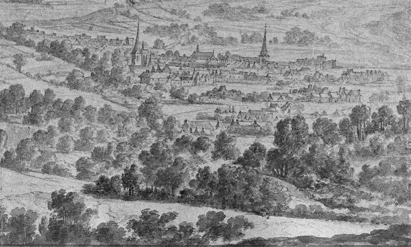
Skip to content
ZOG Zentrum für Ostbelgische Geschichte
  • About us
  • Wiki
  • Contact
English
  • Français
  • Deutsch
  • Nederlands
  • Home
  • Travel through Time
    • Periods
    • Timeline
    • History of the term ‚East Belgium‘
    • 100 years of East Belgium – projects
    • Student perspectives
  • Travel through space
    • Interactive Maps
    • Historical maps
    • Historical spaces
    • Language spaces
  • History lab
    • Document
    • Analyse
    • Experience
  • Sources
  • Blog
  • Digital exhibitions
    • Prospecting an In-Between
    • Saved Memory
  • News
  • Home Travel through space Interactive Maps
5081220180612094515488

Interactive Maps

In addition to classic, static maps, the ZOG also offers a number of interactive maps. Here, users can explore the map independently using various markers or filters and activate additional images or information texts.
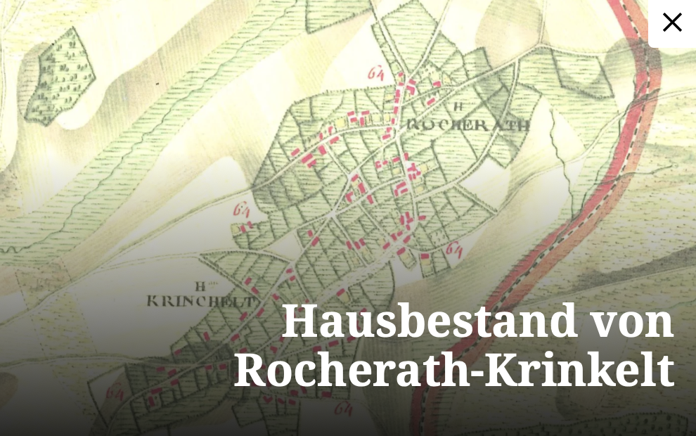
  • button-dat-dorf-amel

    Dat Doref Amel

    An interactive map of Amel as it looked in the 1950s (in German/dialect).

  • kriegsschicksale

    Kriegsschicksale

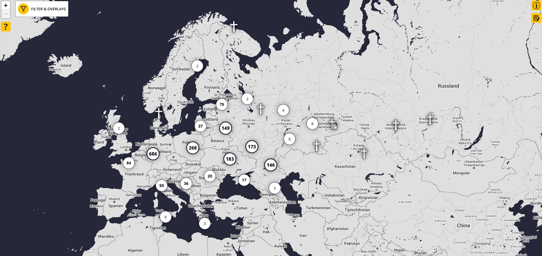
    An interactive map of the fates of East Belgian soldiers in the Second World War (in German)

You have questions or an interesting idea?

Get in touch for a chat.

Contact

  • Legal notice
  • Privacy
  • Declaration on Accessibility
Top
  • Home
  • Travel through Time
    • Periods
    • Timeline
    • History of the term ‚East Belgium‘
    • 100 years of East Belgium – projects
    • Student perspectives
  • Travel through space
    • Interactive Maps
    • Historical maps
    • Historical spaces
    • Language spaces
  • History lab
    • Document
    • Analyse
    • Experience
  • Sources
  • Blog
  • Digital exhibitions
    • Prospecting an In-Between
    • Saved Memory
  • News
  • About us
  • Wiki
  • Contact
frdenlen